- info@seesengineering.com
- Seeraar building Road no 2 Hargeisa, Somaliland
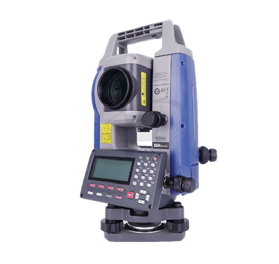
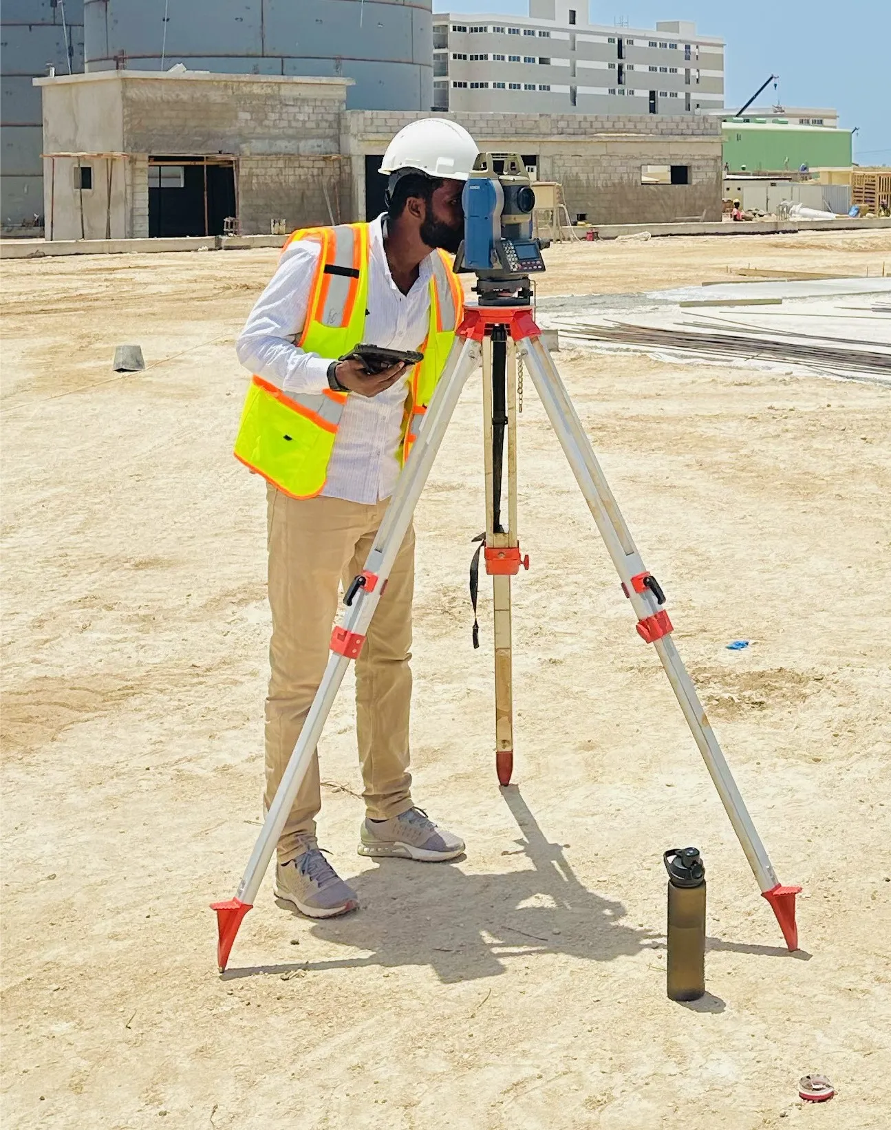
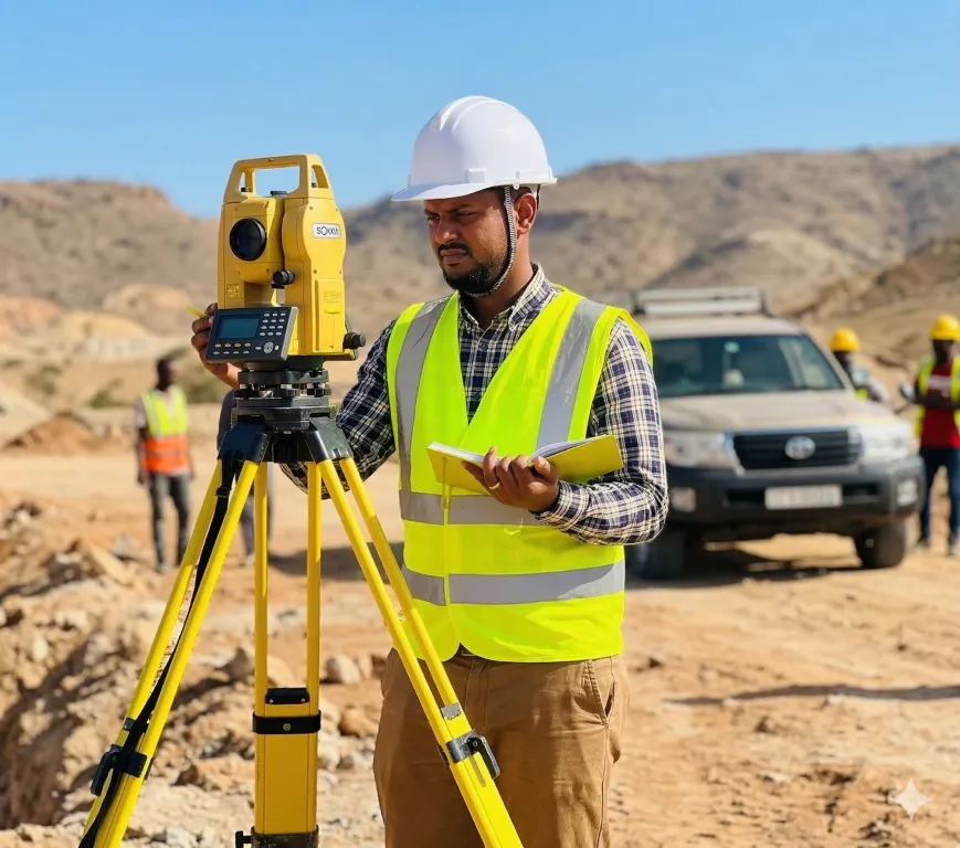
The Sokkia iM-50 series is an entry-level, reflectorless total station known for its accuracy and affordability. It features fast Electronic Distance Measurement (EDM) with a reflectorless range of up to 500m and a prism range of up to 4,000m, making it ideal for site layout and surveying tasks
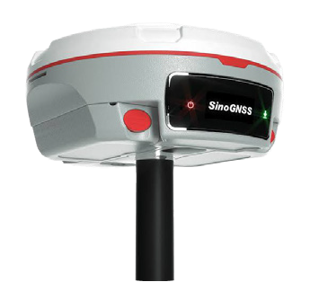
The Mars Laser RTK is an advanced GNSS receiver that combines GNSS, IMU, and laser technologies for enhanced surveying in challenging environments. Its millimeter-level laser distance meter simplifies stakeout tasks, while the latest KB platform tracks 1500 channels across all satellite constellations.
The Mars Laser RTK is an advanced GNSS receiver that combines GNSS, IMU, and laser technologies for enhanced surveying in challenging environments. Its millimeter-level laser distance meter simplifies stakeout tasks, while the latest KB platform tracks 1500 channels across all satellite constellations.
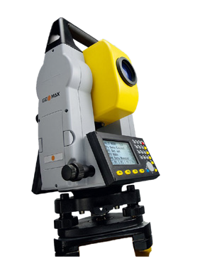
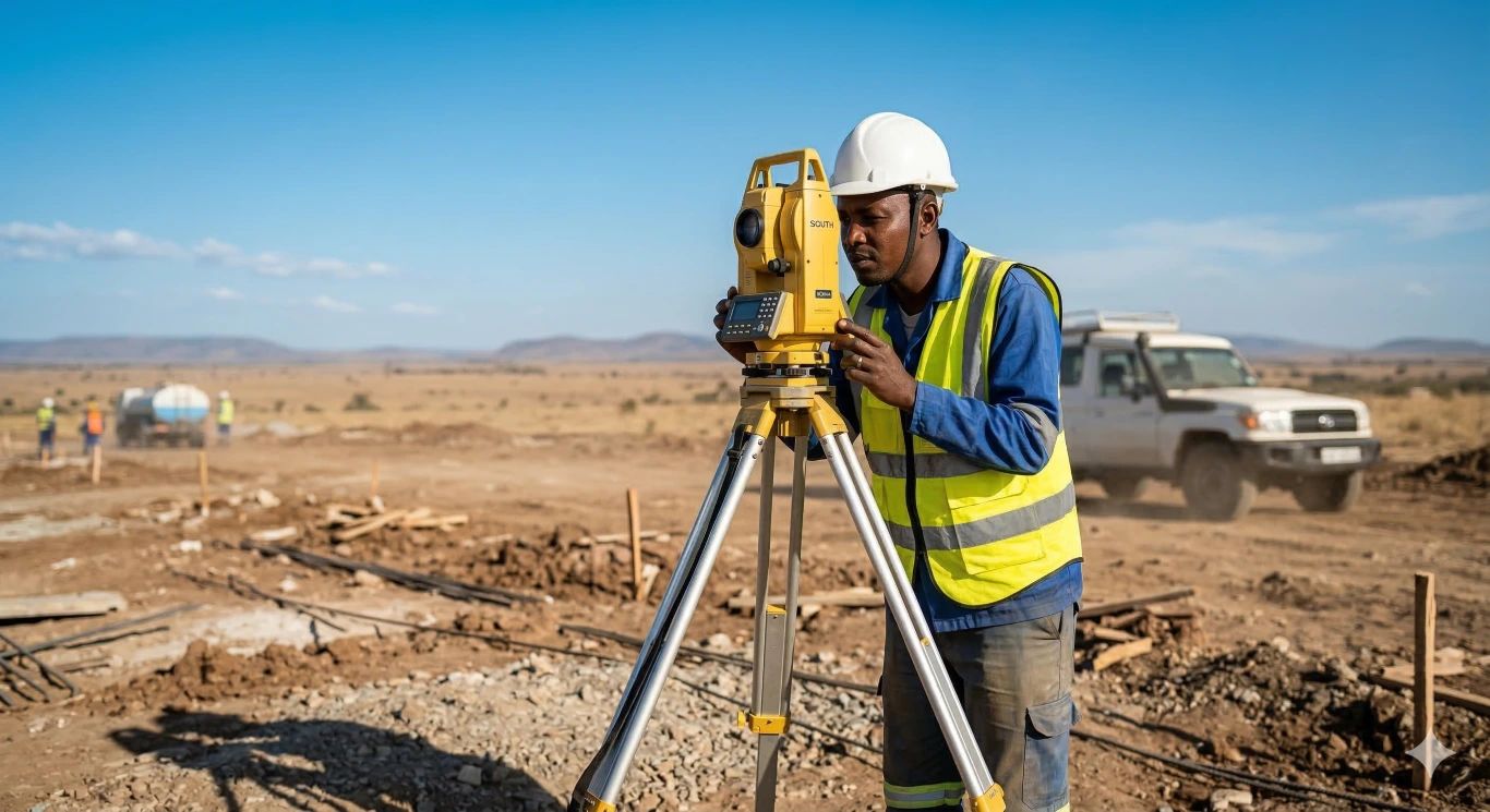
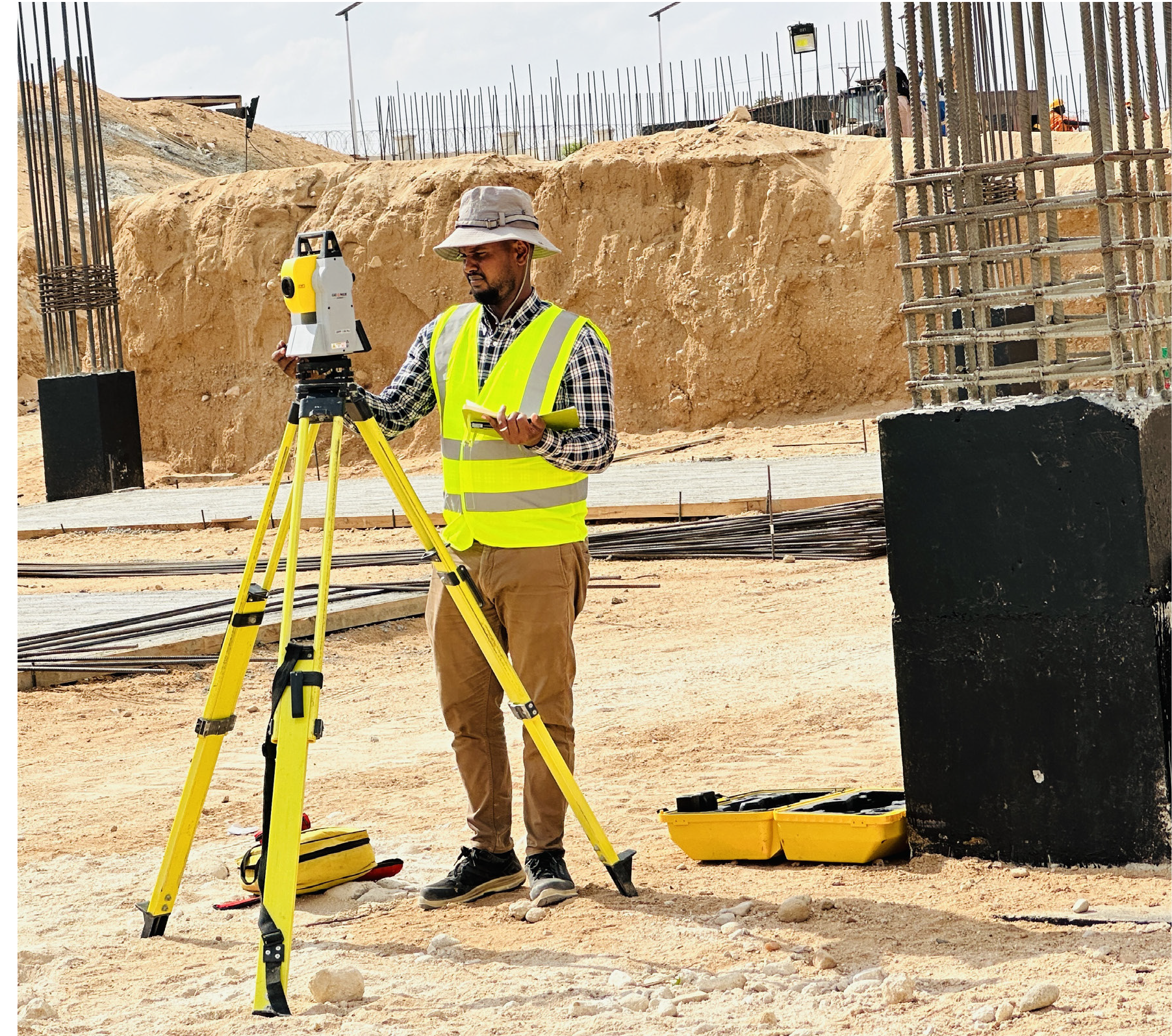
The Geomax Zipp 10 Pro is a total station that balances performance and affordability for surveying and construction. It features a 250-meter reflectorless measurement range and a standard prism measurement range of 3,000 meters, along with various application programs for easy data transfer
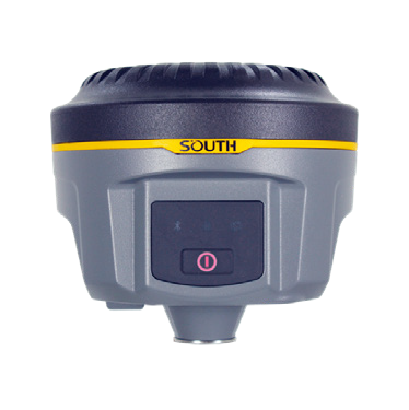
s a compact GNSS receiver known for its innovative design and advanced surveying capabilities. It supports multiple satellite constellations (GPS, GLONASS, BeiDou, Galileo) with a fast initialization time of under 10 seconds. The receiver features a web UI management platform accessible via Wi-Fi and USB, along with integrated tilt compensation and electronic bubble functionality